I had searched for it for the better part of 20 years. An enormous trove of lost maps, the 800 or so sheets of an immense and madcap Victorian project known as the International Map of the World at the Scale of One to a Million. It had taken its makers 70 years of costly surveying, engraving and printing before it was abandoned unfinished in the 1980s.
An original set of these stunningly lovely British-made maps was first deposited in the swanky Manhattan offices of the American Geographical Society. But, after falling on hard times, the AGS had to move to smaller digs in Brooklyn and had no room for the IMW collection. The set then seemed to vanish from the face of the Earth that once it had sought to chart. Thus started my near obsessive search for it, for what I saw as the Flying Dutchman of the cartographic world.
Twenty years later came that magical day of discovery in, of all places, Milwaukee,a city better known for malt liquor and motorcycles than for maps, where I was giving a talk. As I stepped out of a lift in an unassuming building on the campus of the University of Wisconsin, I came into a gleaming, hangar-sized room lined with scores of polished cedar map cabinets, globes in their hundreds and navigational charts in their thousands. A curator stepped forward; I spluttered, incoherently, wondering out loud if she by any chance had in her cabinets… whereupon she cut me off with a grin: ‘Yes we do. Every sheet. Every last one. I’ve set some of them up for you. Come and take a look.’
A great map library can be a wondrous thing to behold, as James Cheshire’s engaging, deeply satisfying and elegantly designed book relates. Or at least such a library can be wondrous for that fast diminishing corps d’elite who cherish paper maps and morocco-bound atlases and all they stand for and once told us about our world and its making.
Cheshire’s map cave does not gleam, however – by his own admission, far from it. Dingy, dark and damp, it moulders, largely overlooked, in a Bloomsbury basement, still in theory serving the students and scholars of University College, London, where he teaches. It is a room that long bustled with inquisitive activity until a specific date – 8 February 2005 – and the formal launch of that once barely believable technology known as Google Maps. From that day, a map of anywhere on the surface of the Earth, and soon after on the bed of the sea, could be called up, examined, consulted, expanded or shrunk to any scale or size or projection and could be physical, political, topographical, geological or economical, to be used just as one wished. The digital revolution had come to the world of maps and, overnight, paper was as useless as a lambskin portolan or a cracked and yellowed Chinese oracle bone.
Wisely, Cheshire avoids nostalgia in his enthusiastic trawl through this half-forgotten collection. There is no mourning the existence of OS sheets; nor the early atlases made by the Times or Bartholomew or OUP; nor the charts hand drawn by naval officers such as Francis Beaufort, William Bligh or James Cook. Instead, writing as a consummate educator, he either tells stories specifically relevant to a sheet that he finds – as with his discovery of what was probably the last map of Hiroshima to be drawn before the city’s atomic destruction in August 1945 – or he employs other sheets to remind us of some greater truths about the complexities of map-making and the power of the cartographer, who, with a line drawn here and a mountaintop sited there, can vastly alter the course of history.
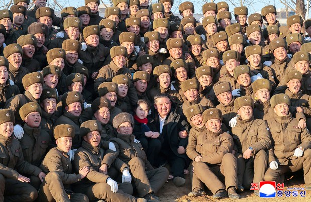
The book encourages the reader to consider the making and impact of various border lines in modern times. These include the Sykes-Picot line that serves as the foundational marker for the mayhem of today’s Levant; the 2,000-mile long Radcliffe Line (all the original paperwork burned by its architect, the wretched Cyril Radcliffe, to whom Mountbatten gave £5,000 to define the boundaries of India and Pakistan); the McMahon Line between Nepal and British India; and the 38th parallel, scrawled in a Pentagon office late one August night in 1945 with a soft pencil on to a National Geographic map of the Korean peninsula. Thus, with a 2B stroke, North and South Korea were created – the line nowadays a rusting monstrosity of minefields and barbed wire, keeping apart two countries still at war 80 years later.
Most of this book is commendable – and Bloomsbury has made the clever decision to place Cheshire’s enormous quantity of endnotes into an equally large and inter-active online-only file. But there is one section with which I take issue. This revives the old squabble over which two 19th-century British geologists can justly lay claim to creating the first national geological map. They were the wealthy, patrician George Bellas Greenough and the untutored, impoverished farmer’s son, William Smith.
One can hardly fault Cheshire for taking Greenough’s side, not least because he was a founder of his current university. But his casual dismissal of Greenough’s nemesis – ‘another man, called William Smith’ – I found unnecessarily unkind. Smith’s map, based on 15 years of lonely, unassisted fieldwork, came out first, in 1815. Greenough’s, three years later, clearly plagiarised it; and his subsequent actions helped drive Smith into beggary. That Greenough later published a geological map of India without once visiting the country further hints at the man as an indolent counter-jumper, his family fortune made from sales of a popular liver pill. He is now well-nigh forgotten outside the trade. And right will out: Smith has a fine museum devoted to him on the Scarborough seafront, which was opened in 2008 by the then Prince Charles.
This is my only serious beef with a book compiled by a very modern geographer who is unashamedly an admirer of digital maps yet remains fascinated by their paper forebears. Military men claim these days that by using their new digital battlefield displays they can be sure never to have to fight an enemy in that inconvenient unfindable place ‘lost at the join of four maps’.
Sure, there are no joins on a digital map – but no joy either. I remain of the romantic old school, and still give as wedding presents copies of the elegant Times Comprehensive Atlas of the World – although I am pretty certain that the happy couple will never once open the volume, but after a decent interval consign it to the lumber room. Or else send it off to Milwaukee.
Got something to add? Join the discussion and comment below.
You might disagree with half of it, but you’ll enjoy reading all of it. Try your first month for free, then just $2 a week for the remainder of your first year.