You could say it started because of the French. The turmoil caused by their revolution got the British military worried about the possibility of an invasion, so maps of the ‘invasion coast’ (beginning with Kent in 1801) were produced. Hence the name ‘Ordnance Survey’. Until the 1960s every director general of the agency held an army rank.
The first five-mile baseline from which everything was measured had been laid out earlier by Major-General William Roy, its two ends marked by cannons stuck in the ground. Coincidentally one of these lay just outside what is now Heathrow. It’s still there, near the junction of Northern Perimeter Road and Nene Road. Searching for it once, I asked a planespotter if he knew where it was. He gave me a look that said: ‘You nerd.’ Which I found a tad rich.
There has always been a magic about OS maps. In Dracula (1897), Jonathan Harker notes that ‘I was not able to light on any map or work giving the exact locality of the Castle Dracula, as there are no maps of this country as yet to compare with our own Ordnance Survey maps’. The agency has now hit the bestseller lists itself — last year’s The Ordnance Survey Puzzle Book proved such a hit a sequel is appearing this autumn.
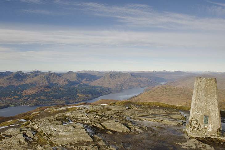
In previous centuries technology meant a theodolite perched on a ‘trig point’, one of the concrete triangulation pillars installed across the country. These days it’s satellites and aircraft, and artificial intelligence. The OS recently worked with Microsoft on technology that can identify different types of roof from aerial photos. In one week the machine went from zero to an 87 per cent success rate. The agency also supplies millimetre-accurate data for driverless tractors so they can work the fields day and night.
This sort of precision requires vigilance. The OS makes 20,000 changes a day to its database – a new house there, a change in the route of a fence there. The emergency services might need to know about the latter when they’re trying to reach someone.
But as well as all its serious work the agency also revels in good old-fashioned silliness. It has worked out the longest straight line you can walk in Britain without crossing a road (44 miles, in the Cairngorms). It has ascertained where Britain would balance if you put it on a pin: Brennand Farm, four miles northwest of Dunsop Bridge in Lancashire. And it has created a map of Britain in Minecraft. This took 22 billion blocks.
Indeed, the OS is now like James Bond: the world is not enough. The agency was employed by Nasa to produce a map of Mars, and has also done the moon. Following in a tradition of OS cartographers writing themselves into maps (look closely and you’ll see some of the cliffs at Blackgang on the Isle of Wight spell ‘Bill’), the agency’s Paul Naylor hid his own name in the lunar surface. He won’t tell anyone where.
Digital maps are wonderful, and of course the OS should be leading the way. But there will always be something thrilling about heading out on a countryside or urban walk with one of their Explorer maps (the ones with the orange covers).
And everything comes full circle in the end. The OS started with the French — and now William Roy’s house on London’s Argyll Street is a French Connection shop.
Got something to add? Join the discussion and comment below.
You might disagree with half of it, but you’ll enjoy reading all of it. Try your first month for free, then just $2 a week for the remainder of your first year.